

Heat Advisories were issued as near-record temperatures continued across western and central New Mexico on Wednesday afternoon, while a strong monsoon high remained over the region.
The National Weather Service said the advisory covers the Albuquerque, Farmington, and Gallup areas, including the Sandia and Manzano mountains.
Forecasters expect high temperatures to climb 5 to 10 degrees above normal.
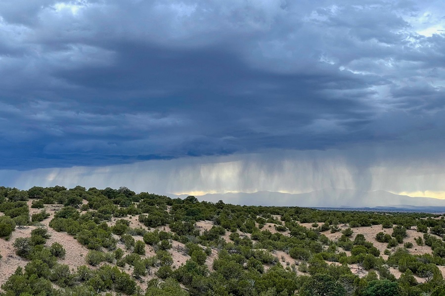
The public should expect scattered thunderstorms to develop during the afternoon over the southwest mountains and the central mountain chain. Storms near the Sangre de Cristo Mountains and across the northeastern part of the state could produce strong to severe wind gusts because of high cloud bases and rapid evaporation. Large hail was a secondary threat but remained possible in the powerful early-afternoon storms.
Across southern and southwestern regions, thunderstorms moving south and southwest were likely to develop, bringing brief gusty winds and small hail.
Overall, the flood risk remained low. But burn scars, especially near the Sacramento Mountains and Ruidoso, were vulnerable to rapid runoff from localized heavy rainfall.
Thunderstorms will weaken between 9 p.m. and midnight. However, a few rain showers could linger through the night.