

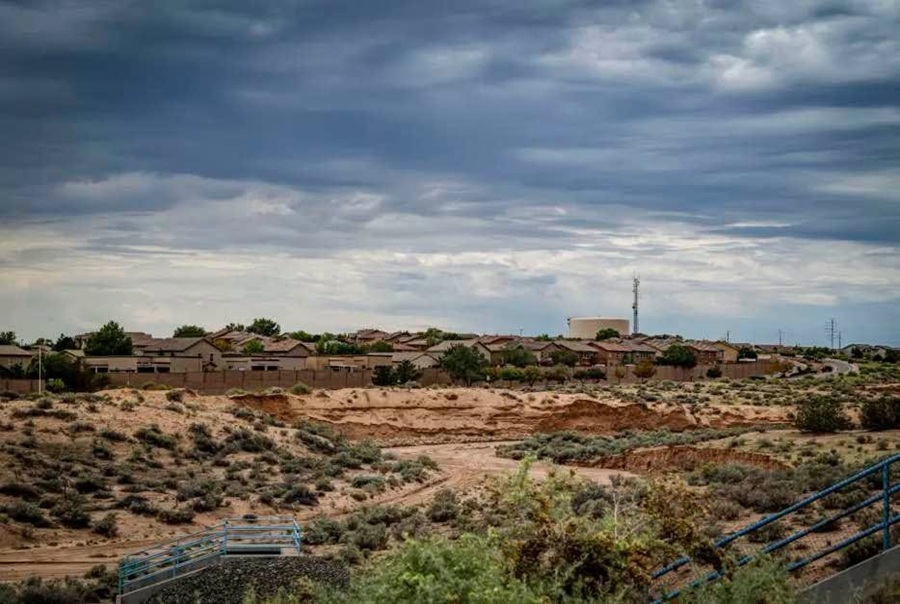
Rain and thunderstorms are to be expected across New Mexico starting Wednesday and could endanger communities with flash flooding, dangerous river conditions, and damaging wind gusts, particularly in the north and west, where runoff from mountain snowmelt could raise water levels even as recent rainfall brings relief from drought.
New Mexico faces several days of rain and thunderstorms starting Wednesday, raising risks of flash flooding, dangerous river conditions, and damaging winds, especially in northern and western regions. While the precipitation offers relief from prolonged drought, forecasters warn that saturated ground and snowmelt runoff could create hazardous conditions through the week.
Storm activity is expected to peak Thursday, with widespread rainfall and flash flood risks across western and central New Mexico. Meteorologists also warn that rain falling on Colorado’s San Juan Mountains snowpack could accelerate melting, increasing runoff into rivers near Farmington and Shiprock, posing dangers to anyone entering the cold water.
Forecasters expect showers and thunderstorms to spread across northern and central New Mexico beginning Wednesday, with the potential for rapid rises in arroyos and rivers, dangerous lightning and periods of heavy rainfall. River flooding was not forecasted as of Monday, but meteorologists warned that runoff from rain and melting snow could create hazardous conditions through the end of the week.
The incoming storms after repeated heavy rainfall in late September brought some relief from months of dry conditions. The latest U.S. Drought Monitor data show that parts of Doña Ana County are no longer experiencing drought, and no area of New Mexico remains in the most severe category, known as exceptional drought.
Andrew Mangham, a senior service hydrologist with the National Weather Service’s Albuquerque office, said the forecast rainfall could bring further improvements; however, drought remains a concern in parts of the state.
“We’ll be watching the rainfall, and it’ll probably lead to some more kind of nibbling around the edges of the drought, but there are areas of improvement that are encouraging,” Mangham said during a Monday briefing.
The expected rain, however, comes with risks. Saturated ground and heavy downpours can increase runoff, while rain falling on existing mountain snowpack can accelerate melting and send additional water into streams and rivers.
Isolated to scattered thunderstorms are expected across New Mexico Tuesday, with the greatest precipitation chances in Chama and Glenwood. The storms could produce dangerous lightning, posing a risk to people outdoors in western and central parts of the state.
Storm activity is expected to increase Wednesday, particularly in northwestern New Mexico. Farmington and Gallup face a 15% to 25% chance of localized flash flooding, along with at least a 15% chance of excessive rainfall — when rain falls faster than the ground can absorb it.
Santa Fe has a 48% chance of rain Wednesday.
Thursday could bring the most widespread rainfall within the week, with precipitation chances approaching 100% in Chama, Farmington, Gallup and Glenwood. Western, central, and northeastern parts of the state also could see wind gusts of 25 to 35 mph.
Localized flash flooding will remain possible Thursday across western and central New Mexico. The western half of the state, including Santa Fe and Albuquerque, faces at least a 15% chance of excessive rainfall.
Advertisement
Scattered to numerous thunderstorms are expected Friday, with eastern New Mexico facing a marginal risk of localized flash flooding.
Forecasters expect Santa Fe to receive about 1.5 inches of rain from Wednesday morning through Friday night. Temperatures are expected to remain near or above normal across most of the state throughout the week.
Another concern lies in the San Juan Mountains of southwestern Colorado, where rain falling on the existing snowpack from Thursday through Saturday could increase runoff into small streams and rivers stretching from the Northern Highlands west toward Farmington and Shiprock.
Mangham said rainfall on the snowpack could speed melting and release additional water into nearby waterways.
“The snowpack is going to be exposed to incoming rainfall,” he said. “That can result in fairly rapid melt of the snowpack, and that can unlock that snow-water equivalent and have it add to the runoff.”
Although rivers were expected to remain within their banks, Mangham warned that rising water could still pose a danger, especially to anyone entering streams or rivers.
“When you get snow-melt water like that, it is dangerously cold,” he said. “Your muscles can lock up within seconds if you get into that water.”
Rainfall chances are expected to decrease over the weekend, though isolated to scattered thunderstorms could continue statewide, bringing the possibility of dangerous lightning.