

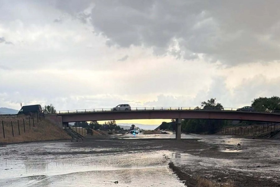
Forecasters say thunderstorms fueled by near-record atmospheric moisture will bring periods of heavy rain across much of New Mexico through Friday, raising the risk of localized flash flooding.
Storms will spread most widely Thursday afternoon and evening near Silver City, Reserve, Gallup, Grants, Albuquerque, Santa Fe, Taos, and Raton. Forecasters said thunderstorms over Raton, Clayton, and Tucumcari could linger until around midnight.
Rainfall could reach two inches an hour, raising concerns about flash flooding in low-lying areas, arroyos and places that have already seen heavy rain.
On Friday, a weather boundary moving into northeastern New Mexico will trigger another round of widespread thunderstorms. The greatest chances for storms are near Taos, Red River, Angel Fire, Raton, Clayton, Tucumcari, Roswell, Artesia, and Carlsbad.
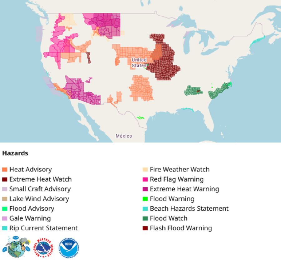
Scattered thunderstorms are also forecast for Gallup, Grants, and Silver City. With unusually high moisture levels in the atmosphere, forecasters said any storm could produce intense downpours capable of causing flash flooding.
Storms over eastern New Mexico may form into a larger complex Friday evening before weakening around midnight.
Officials urged residents in flood-prone areas to watch forecasts and avoid driving through flooded roads, warning that water can rise quickly during heavy rain.