

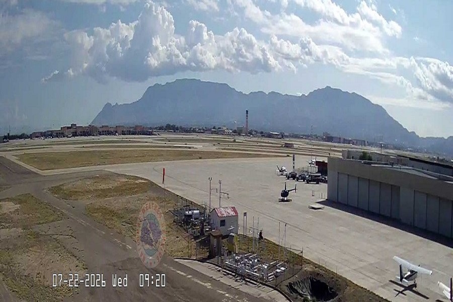
The National Weather Service’s Albuquerque office has issued a Flash Flood Watch this Wednesday morning as the afternoon thunderstorms could bring heavy rainfall and rapid flooding to parts of the state, including areas scarred by recent wildfires near Ruidoso.
The latest forecast shows skies over the metro area were partly cloudy Wednesday morning, with temperatures holding at 70 degrees.
Forecasters expect conditions to turn sunny before shifting to a slight chance of thunderstorms as daytime heat builds, pushing the high to 93 degrees.
Storm chances are expected to linger into the evening before clearing to partly cloudy skies overnight, with lows falling to 69 degrees.
The bigger concern, however, is the flooding risk tied to this afternoon’s storm activity. The Flash Flood Watch covers the Ruidoso burn scar areas as well as west-central and northwestern New Mexico, where thunderstorms are expected to produce heavy rainfall through the afternoon and early evening hours. “Low-lying, poorly drained, and already rain-soaked areas will be most susceptible,” the agency
said in its forecast discussion, noting that repeated rounds of storms could compound the risk in already-saturated ground.
Burn-scarred terrain near Ruidoso remains especially vulnerable to flash flooding as wildfire damage strips away vegetation that would normally slow and absorb runoff.
The watch comes as New Mexico moves further into its summer monsoon pattern.
Forecasters are urging residents in and around the affected areas to monitor conditions closely through the afternoon and to be prepared to move to higher ground if storms develop nearby.