

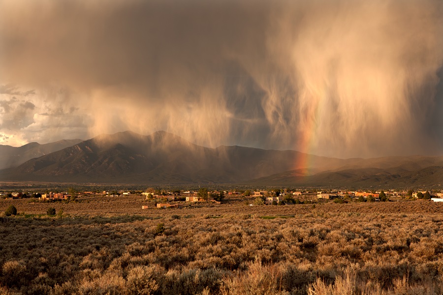
Monsoon moisture sweeps through New Mexico this weekend, bringing thunderstorms, dangerous lightning, erratic winds, and the threat of flash flooding. Forecasters warn that this pattern will continue through at least the middle of next week, with scattered storms mainly affecting the state’s mountains and higher terrain.
Saturday’s storms will favor the southern and central mountain ranges. It will develop by late morning, peak in the afternoon, and gradually fade in the evening.
A broad area of high pressure is expected to keep storms sluggish and erratic, increasing the risk of heavy rain accumulating over the same locations.
A Flood Watch is in effect for the Ruidoso burn scars from Saturday morning through the afternoon. Residents are warned that as much as 2 inches of rain could fall within three hours. And those living near recent burn scars are particularly vulnerable because scorched ground cannot easily absorb heavy rainfall.
Temperatures will remain in late-summer territory, climbing around 90 degrees in the Albuquerque metro and central valleys. Eastern New Mexico could reach the mid- to upper 90s, while higher elevations will be cooler.
More storms are expected on Sunday
Another round of hit-or-miss storms is expected on Sunday, with showers and thunderstorms developing around midday over the higher terrain of western and central New Mexico.
Storms could again produce heavy rainfall in isolated areas, raising flash-flood concerns in low-lying neighborhoods, poorly drained areas, and urban areas.
Temperatures are expected to remain slightly above average, with lower elevations reaching the upper 80s to mid-90s and eastern parts of the state climbing into the upper 90s.
Not everyone will see rain, but everyone should stay alert
This will not, however, be a statewide washout.
One neighborhood could be drenched while another just a few miles away stays completely dry, as storm coverage will remain scattered and uneven.
Parts of the Albuquerque area and other valley locations may see limited activity. The best chances for rain remain over the mountains.
Residents and visitors heading into mountain recreation areas, arroyos, and areas near recent burn scars should remain particularly alert. Any thunderstorm could produce cloud-to-ground lightning, sudden wind gusts, and brief but intense downpours.
Forecasters say the monsoon pattern is expected to continue into early next week before the storm gradually decreases as the upper-level high shifts position.